(Difference between revisions)
| Revision as of 13:00, 4 August 2006 Peter (Talk | contribs) ← Previous diff |
Revision as of 13:02, 4 August 2006 Peter (Talk | contribs) (→'''Example of importing ASCII data into the AgrometShell database''') Next diff → |
||
| Line 6: | Line 6: | ||
| <blockquote> | <blockquote> | ||
| {|"class=prettytable" cellpadding="15" | {|"class=prettytable" cellpadding="15" | ||
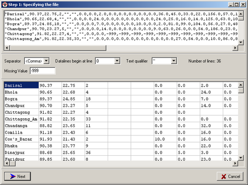
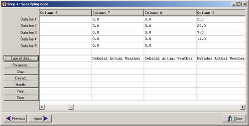
| - | |width="225"|The next screen pops up:||[[Image:image019.png|500px|]] | + | |width="225"|The next screen pops up||[[Image:image019.png|500px|]] |
| |- | |- | ||
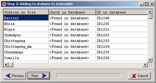
| - | |width="225"|Please note that missing values are shown as blank cells. Press <next>:||[[Image:image021.png|500px|]] | + | |width="225"|Please note that missing values are shown as blank cells. Press <next>||[[Image:image021.png|500px|]] |
| |- | |- | ||
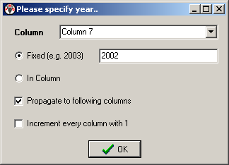
| - | |width="225"|Assume that we want to add the stations to the ‘Example1’ list. Longitude, Latitude etc. are already specified, so we leave those fields empty.||[[Image:image023.png|500px|]] | + | |width="225"|Assume the data are imported into the ‘Example1’ stations list. Longitude, Latitude etc. are already specified, so we leave those fields empty.||[[Image:image023.png|500px|]] |
| |- | |- | ||
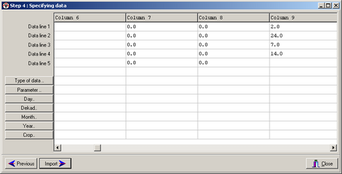
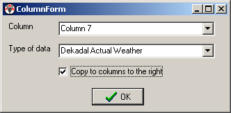
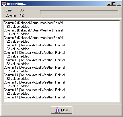
| |width="225"|Assume that we want to add the stations to the ‘Example1’ list. Longitude, Latitude etc. are already specified, so we leave those fields empty.||[[Image:image025.png|500px|]] | |width="225"|Assume that we want to add the stations to the ‘Example1’ list. Longitude, Latitude etc. are already specified, so we leave those fields empty.||[[Image:image025.png|500px|]] | ||
Revision as of 13:02, 4 August 2006
Example of importing ASCII data into the AgrometShell database
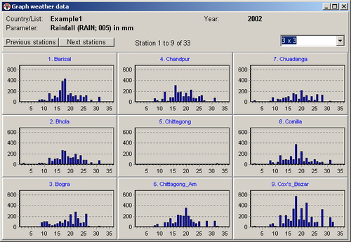
The filename of the file that will be imported is Dekadal_Actual_Rainfall_2002_Bangladesh.dat. This file contains dekadal rainfall for 2002:


